The ascent of Mont Pélat is an absolute must for anyone who really wants to understand the Mercantour region. It is a hike that begins as a tough climb and ends in an overwhelming panorama of the Western Alps - with views you will never forget.
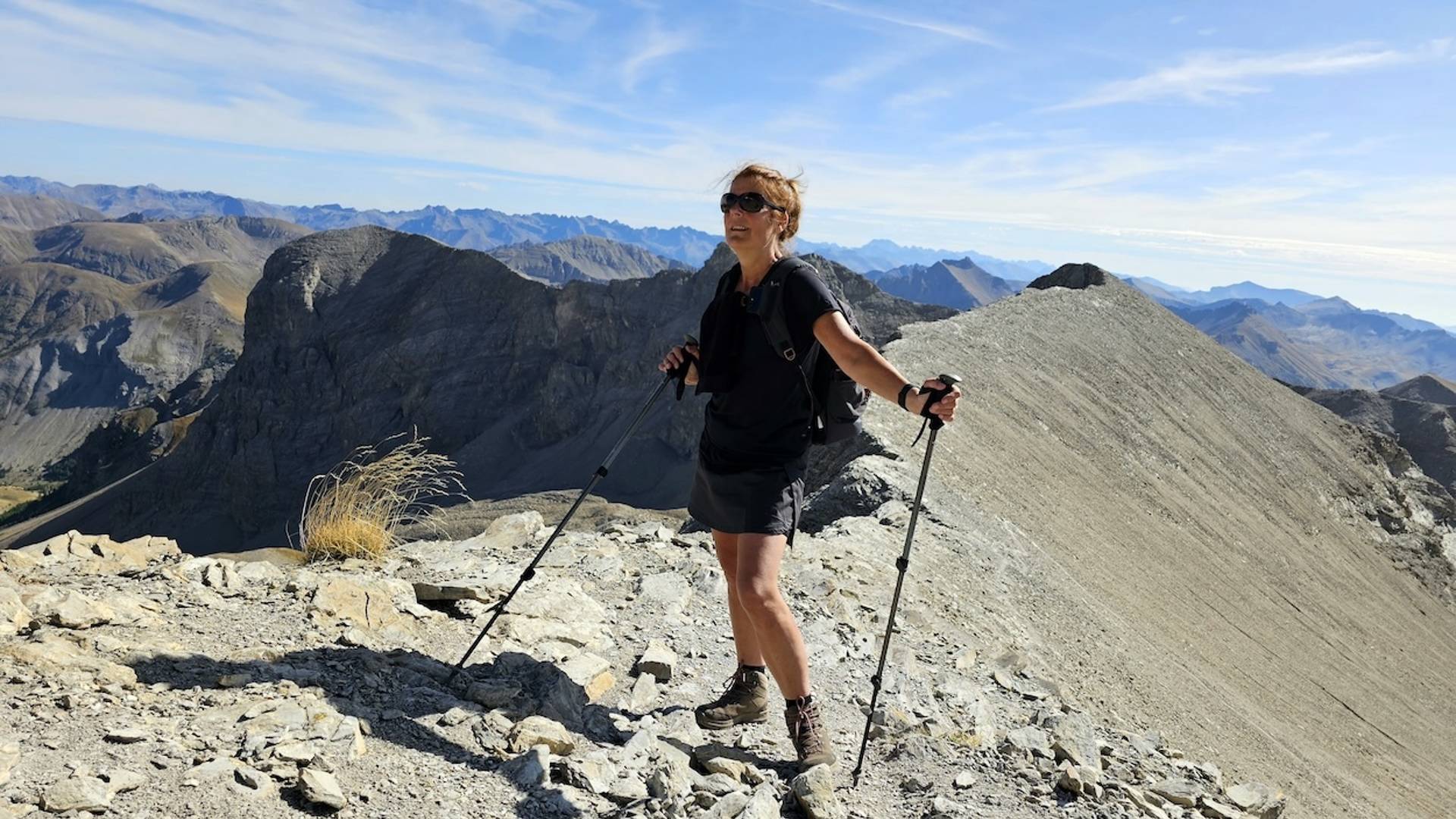
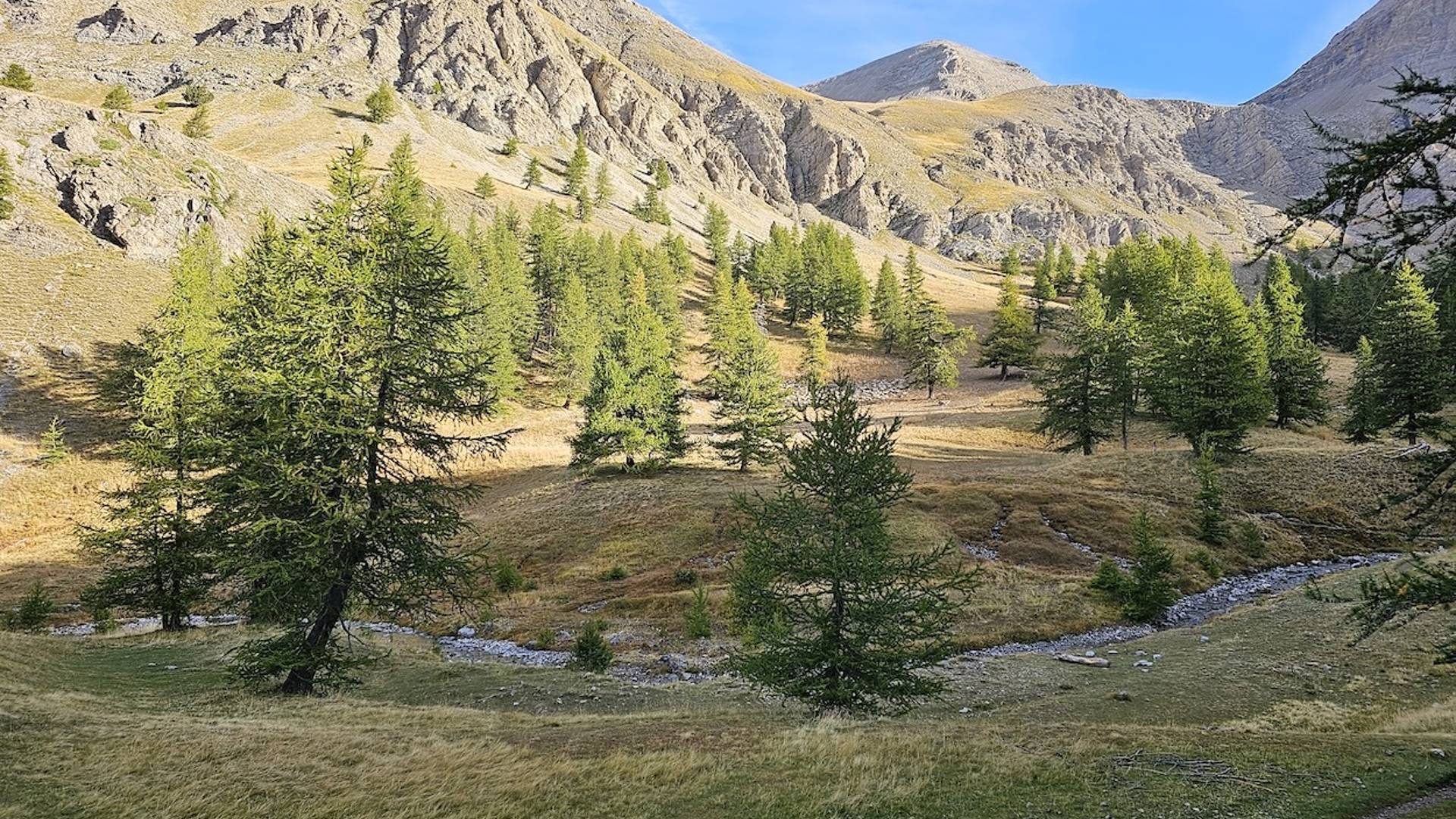
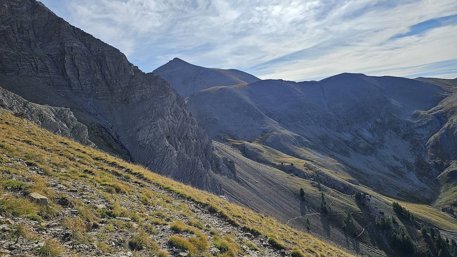
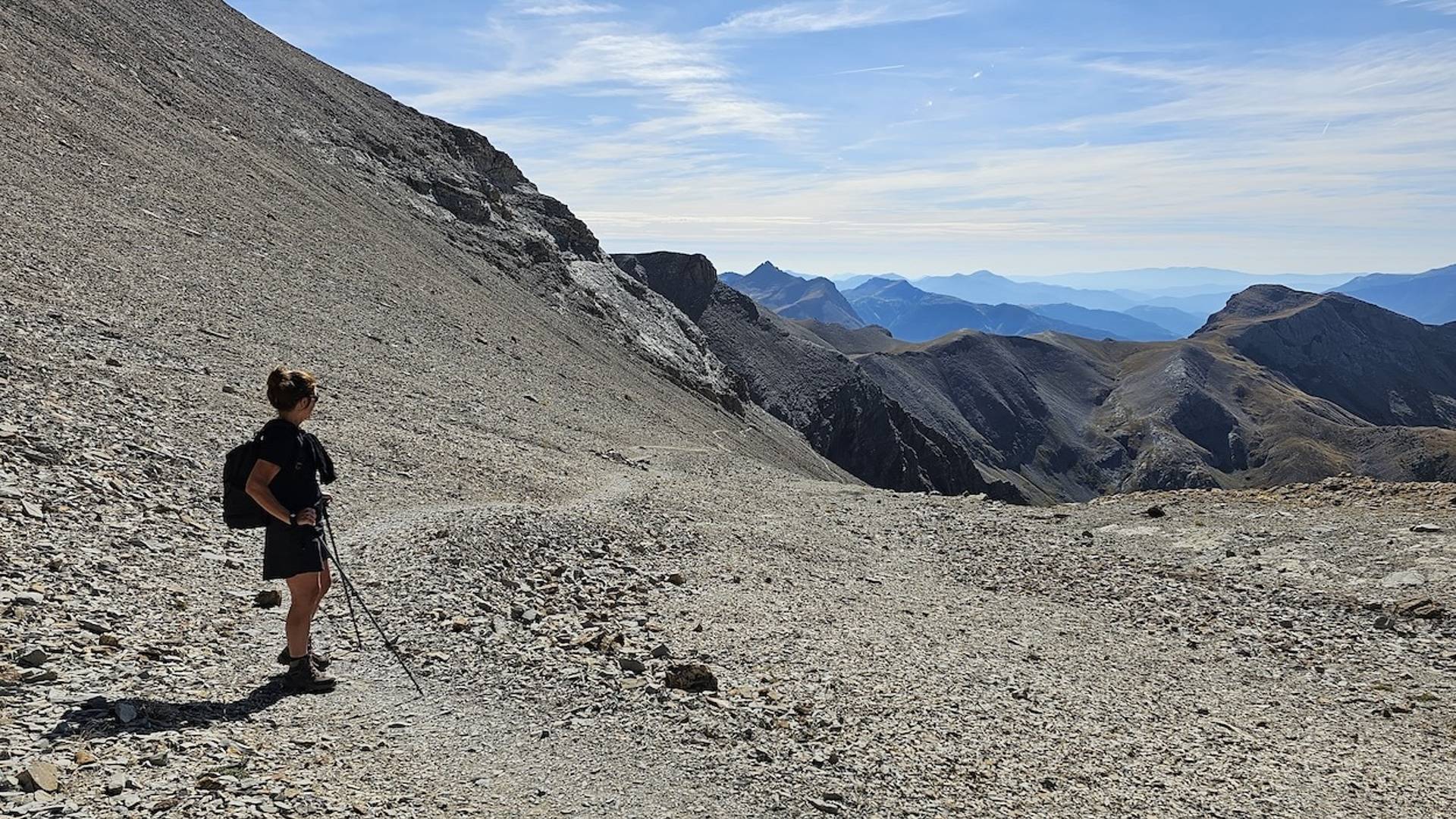
Climbing through rugged mountain scenery
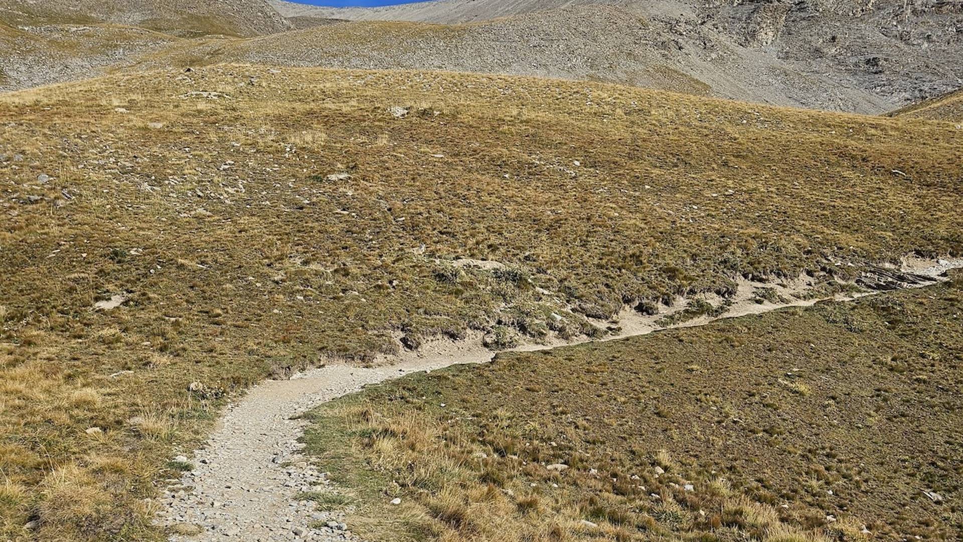
From the parking lot, you start a trail of about 6 kilometers and 900 altimeters. The route starts quietly on a wide gravel road, but soon the path turns into a real mountain trail - narrower, wilder and more impressive. The signage is excellent, so you follow the right direction without a doubt.
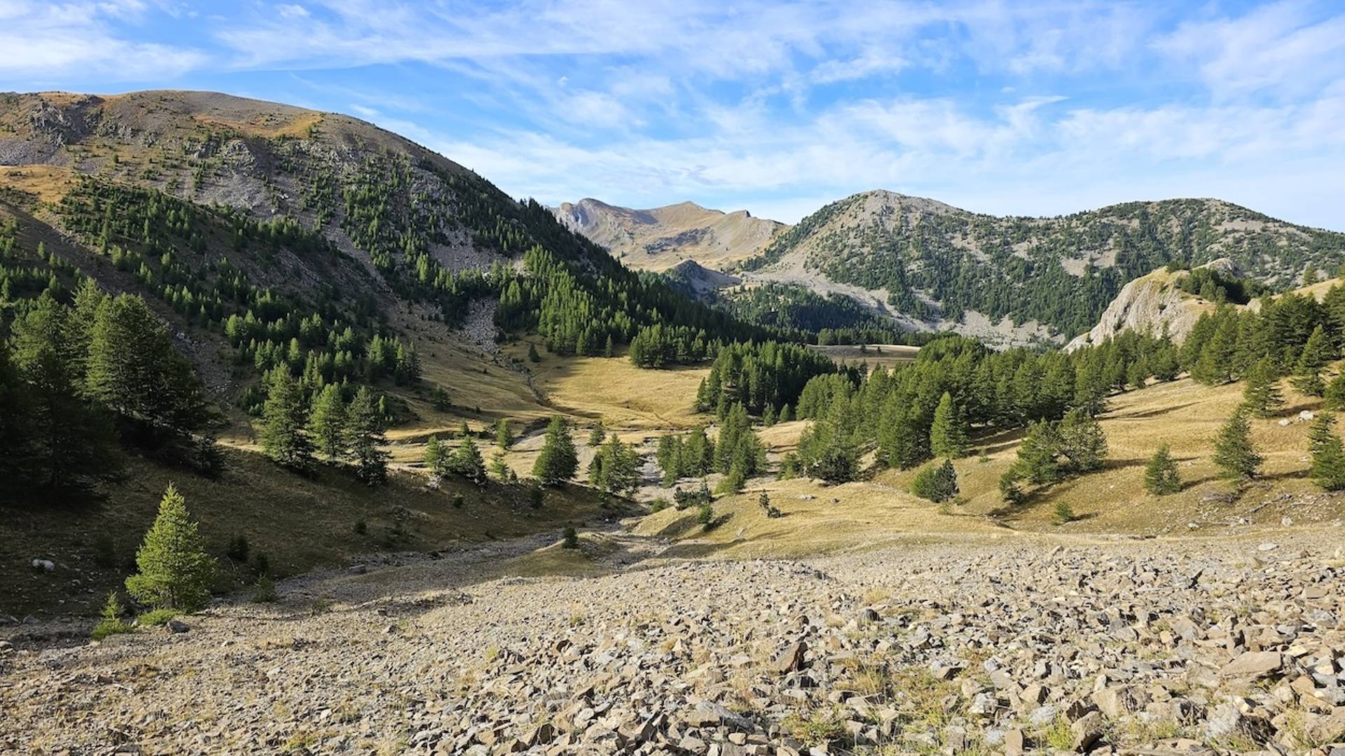
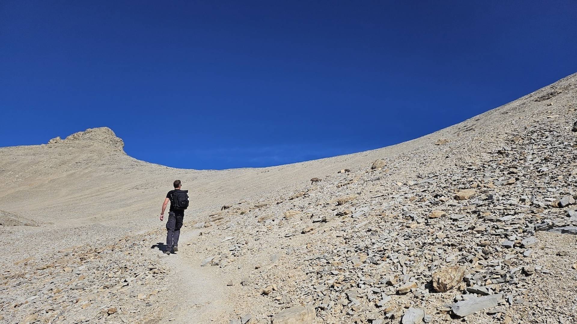
The last few hundred meters to the summit require a little more effort: the terrain becomes rockier and here and there you have to do some scrambling. Less experienced climbers can skip this part if necessary, but those who persevere will be richly rewarded.
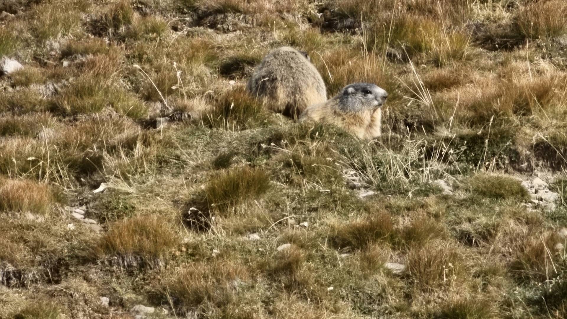
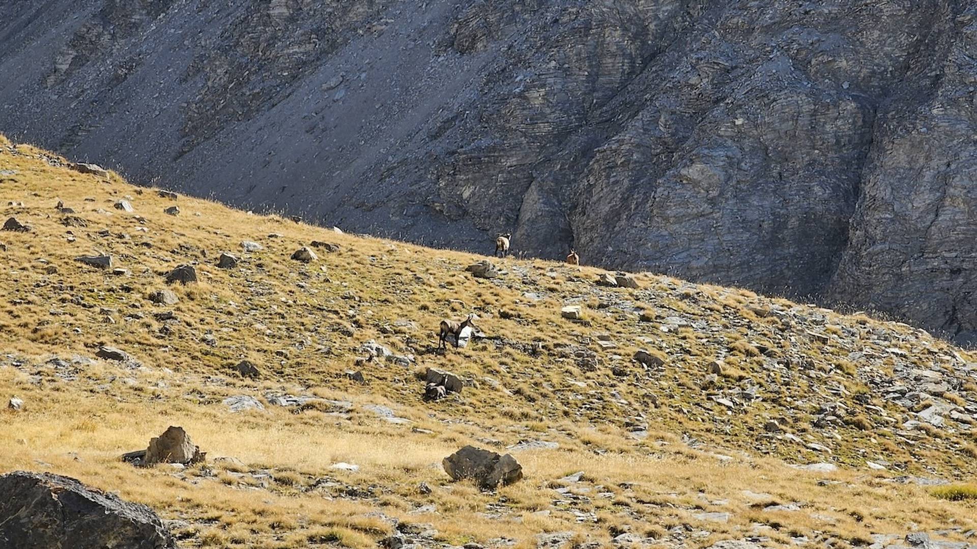
Along the way you can enjoy the Alpine flora: gentians, Alpine roses and even the occasional edelweiss. And every time you look back, the azure Lac d'Allos glistens in the distance.
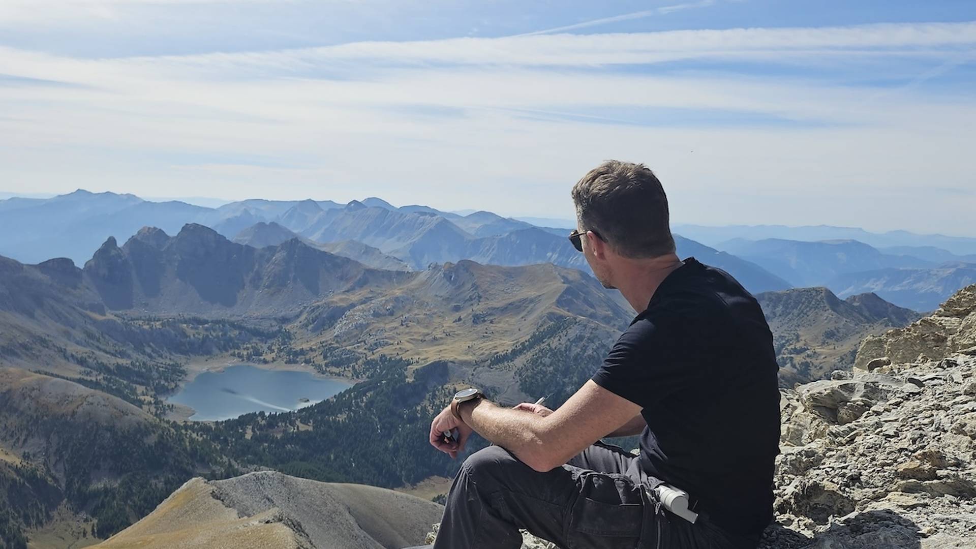
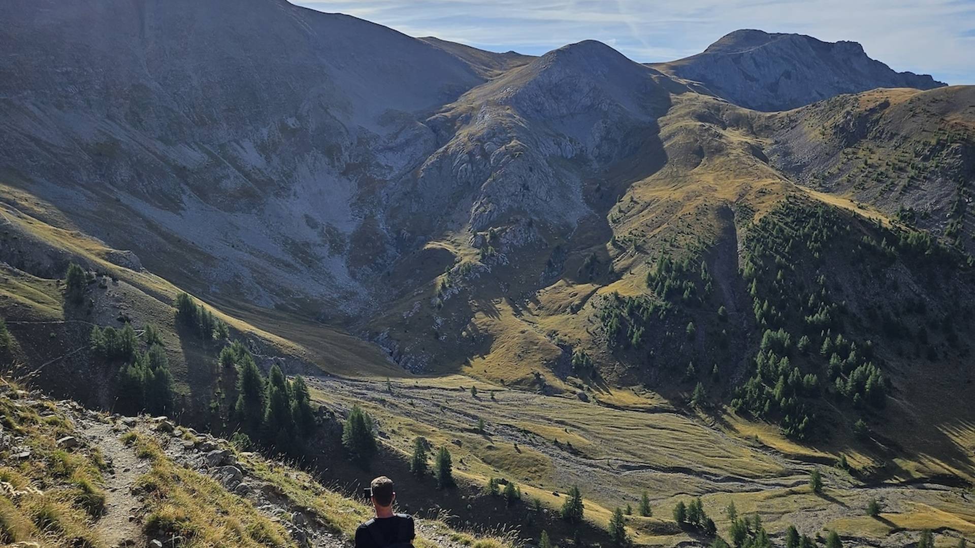
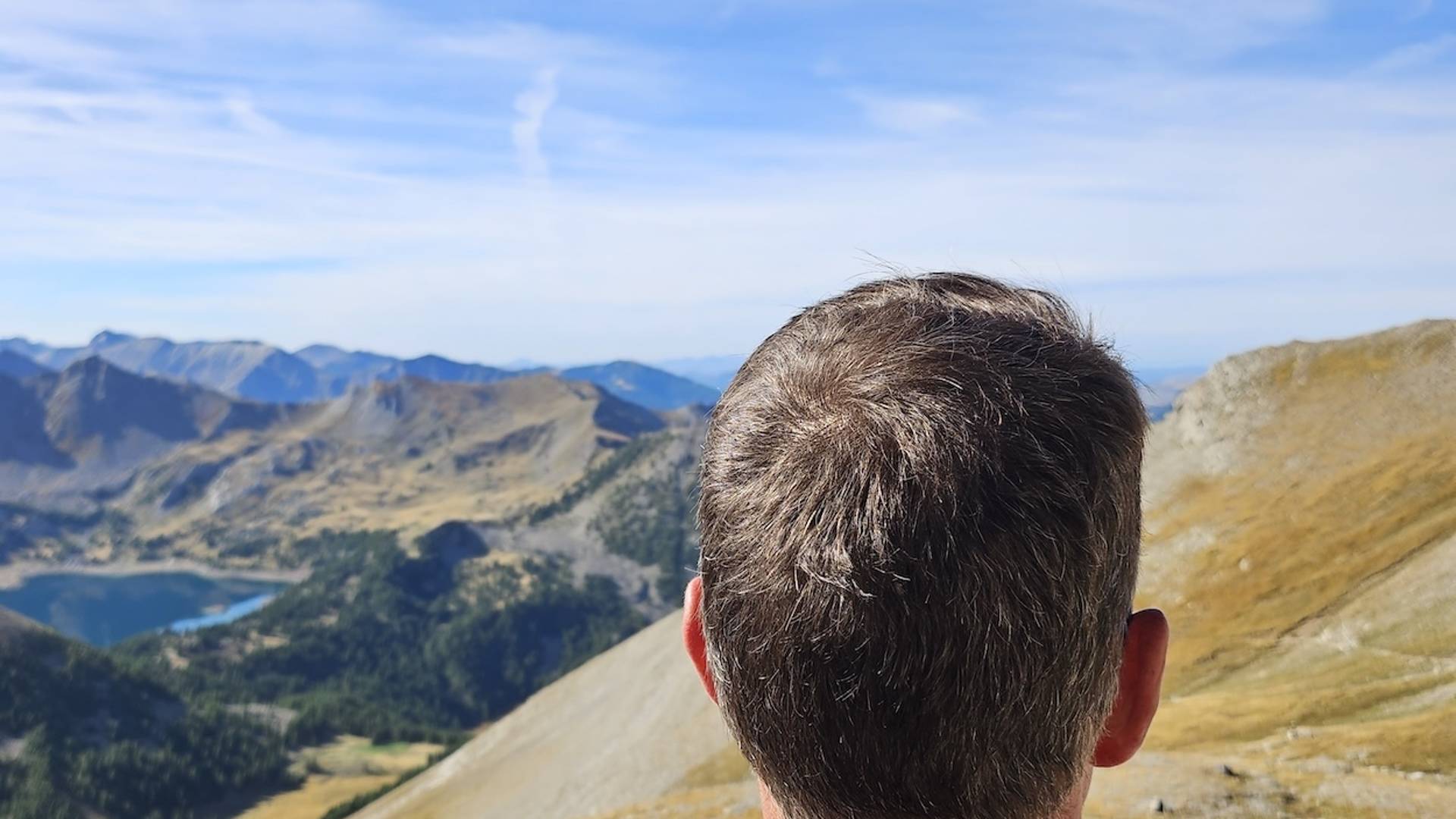
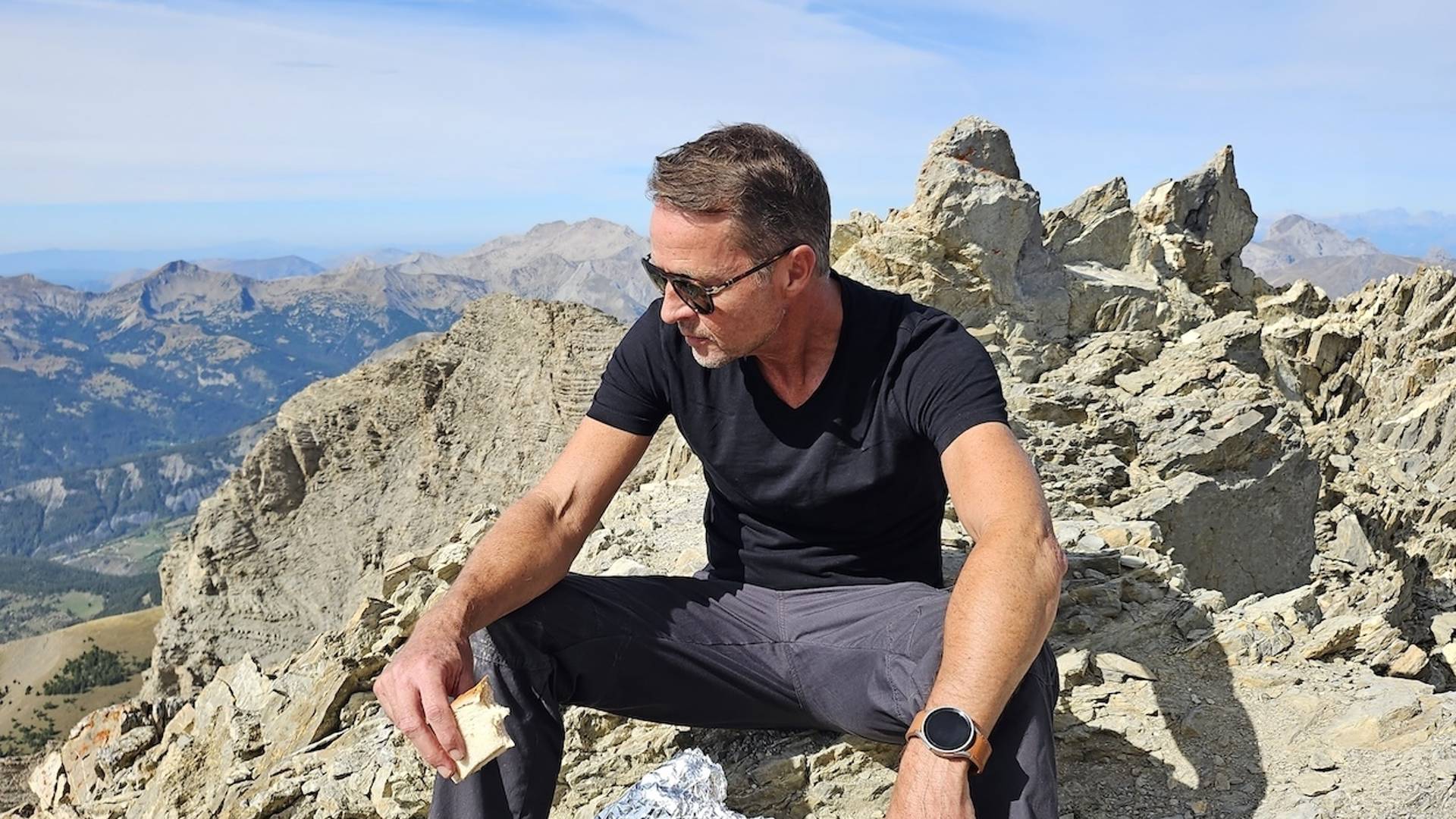
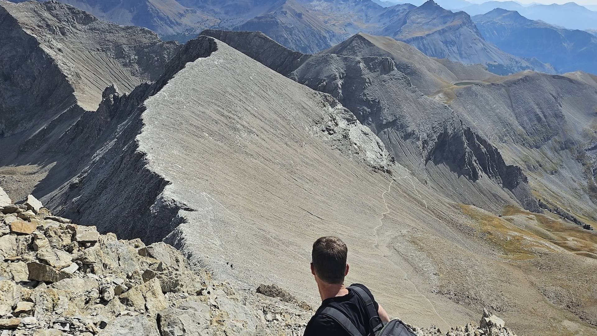
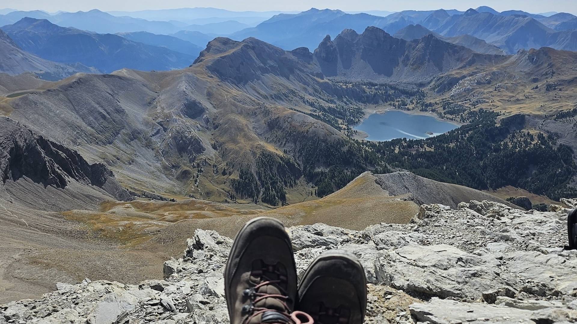
At the summit - the Alps at your feet
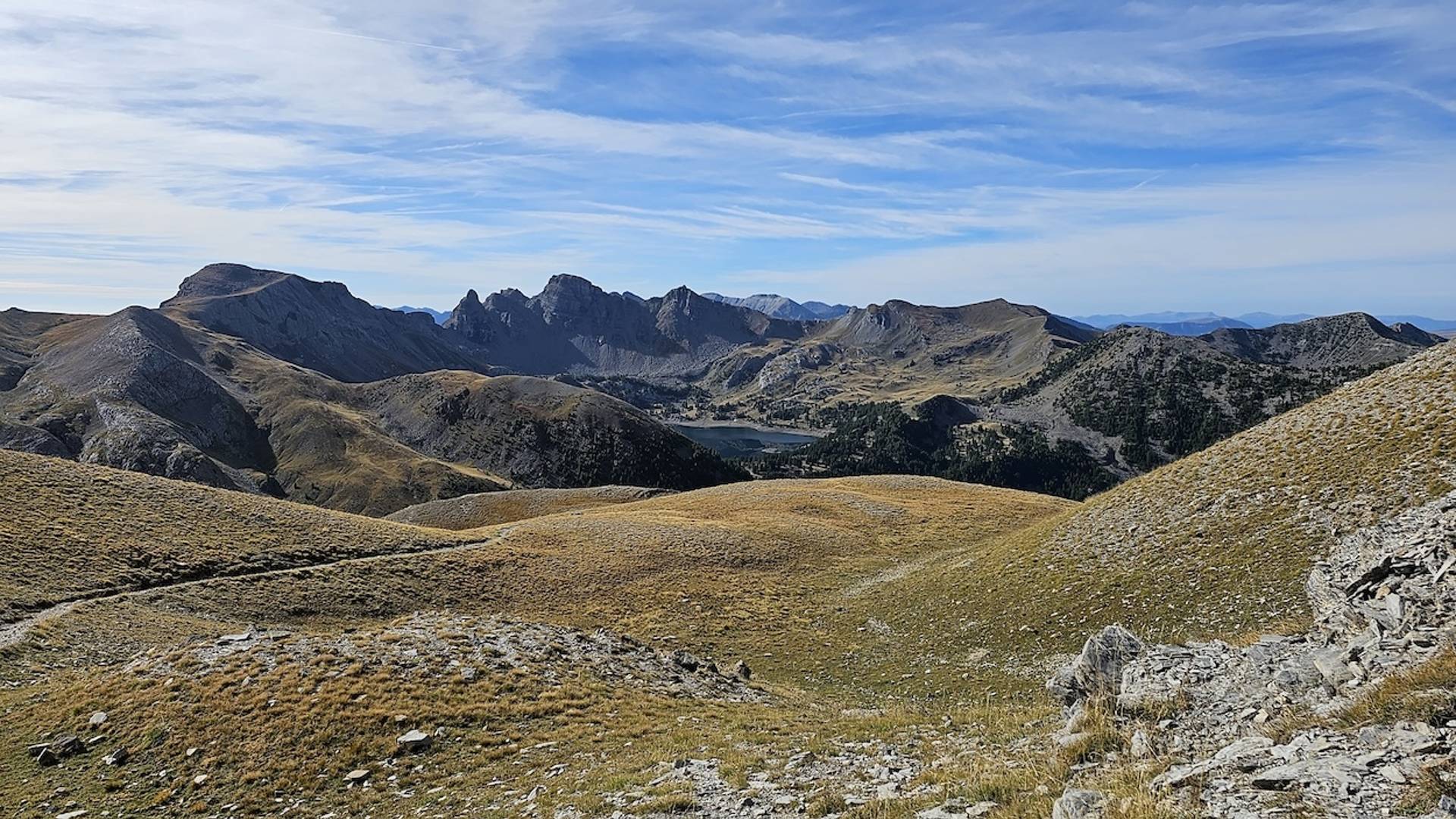
The narrow summit ridge of Mont Pélat (3,053 m) offers breathtaking 360° views. In clear weather, you can see in the distance:
-
Mont Blanc
-
Gran Combin
-
Barre des Ecrins
-
Matterhorn
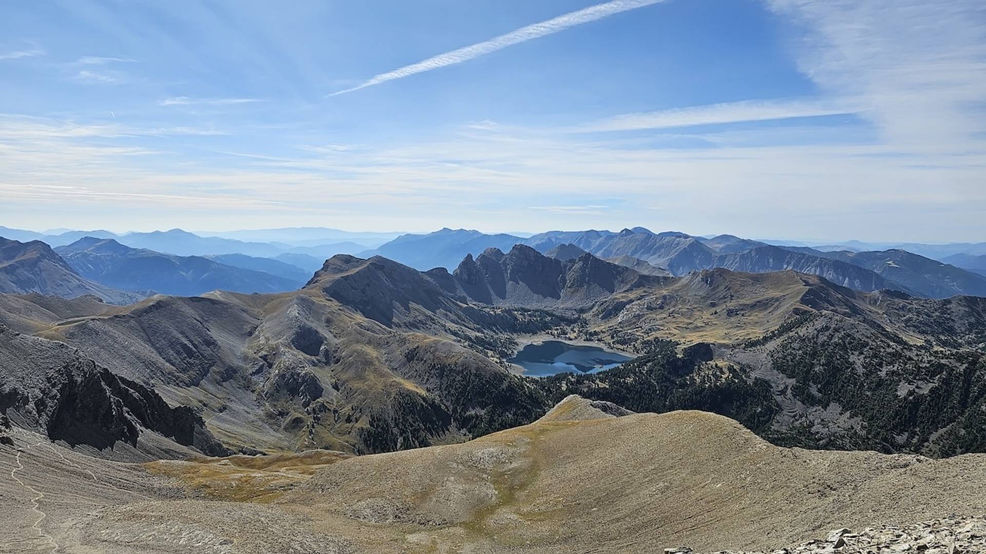
Above 3,000 meters, small glacial remnants are scattered throughout the landscape. Meltwater seeps down through mountain streams, feeding the green alpine meadows and crystal clear lakes - a setting that seems almost too perfect to be real.
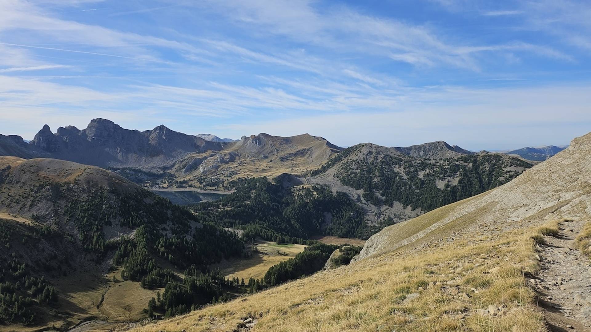
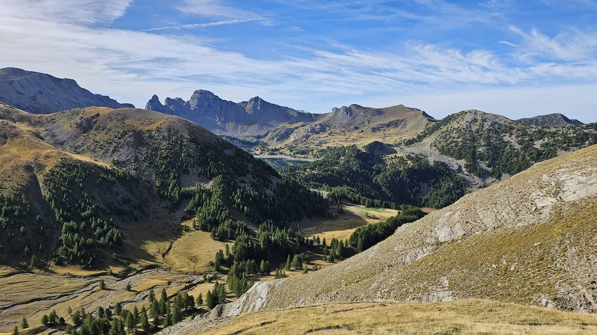
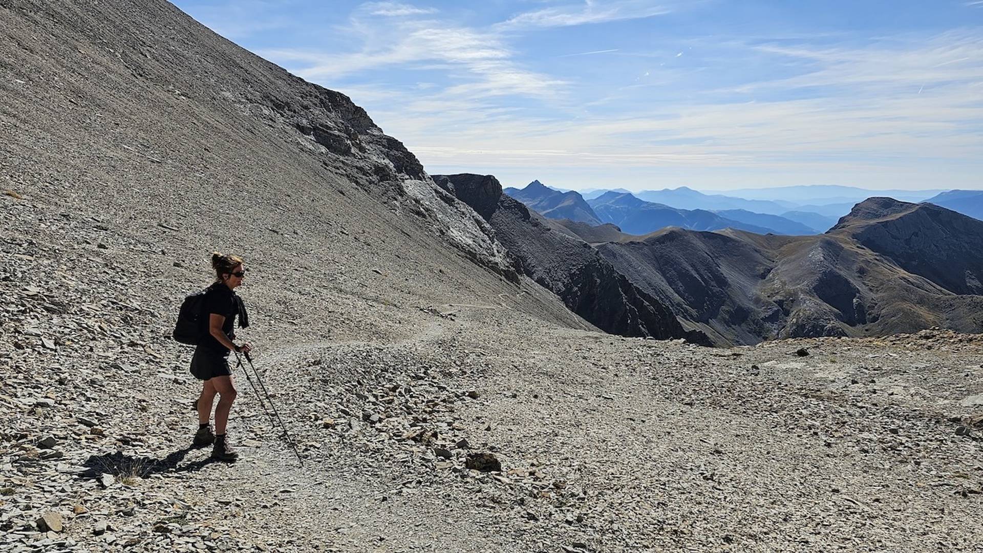
By a different route toward Lac d'Allos
The descent begins along the same road, but after about 3.5 km the path bends to the east. From here you walk through a quiet undulating mountain landscape with one more short climb of about 150 meters. Then the trail continues smoothly through alpine meadows toward the iconic Lac d'Allos.
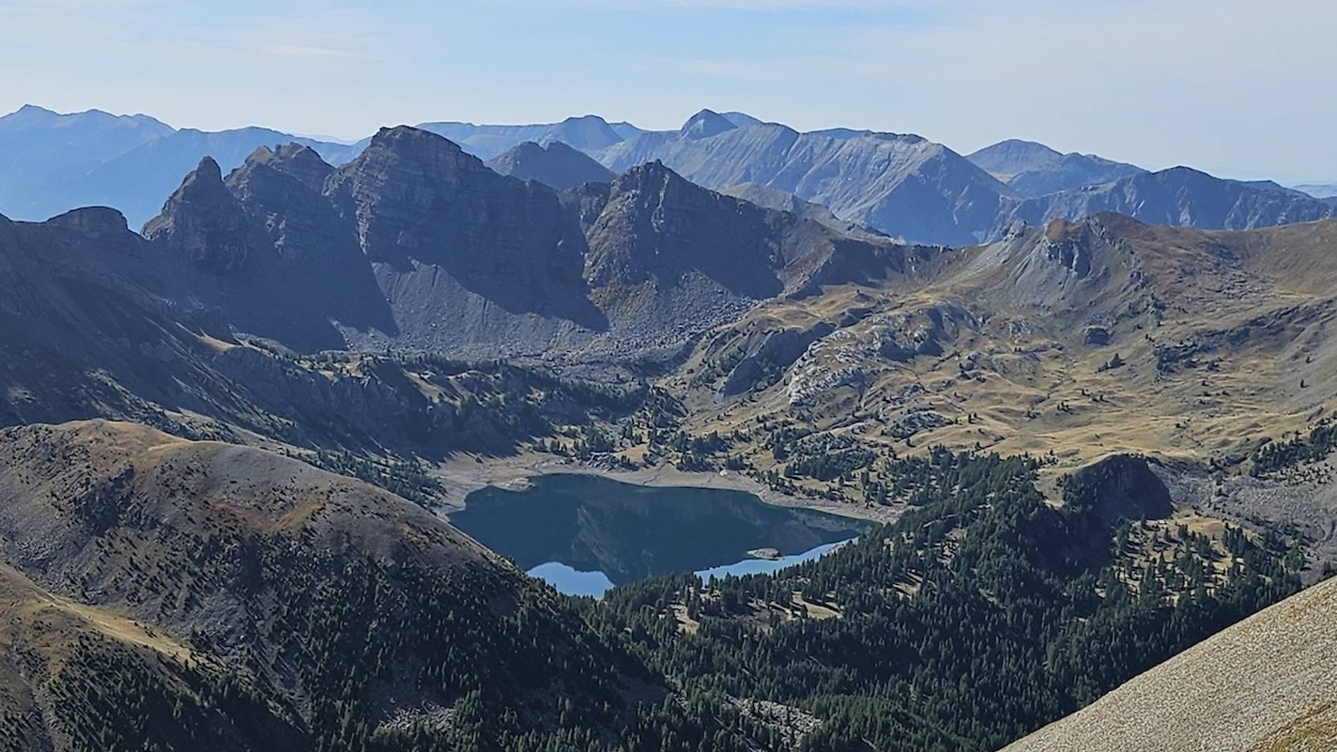
Lac d'Allos - the largest natural mountain lake in Europe.
At 2220 meters above sea level lies this impressive lake, created from a bowl carved by glaciers during the last ice age. Meltwater from snow and glaciers filled the depression into a lake some 54 hectares in size and 48 meters deep.
It is a place that exudes both tranquility and grandeur - a perfect ending to this unforgettable hike.
We captured this hike on Wikiloc. Click on the logo below to view the trail.
![]()